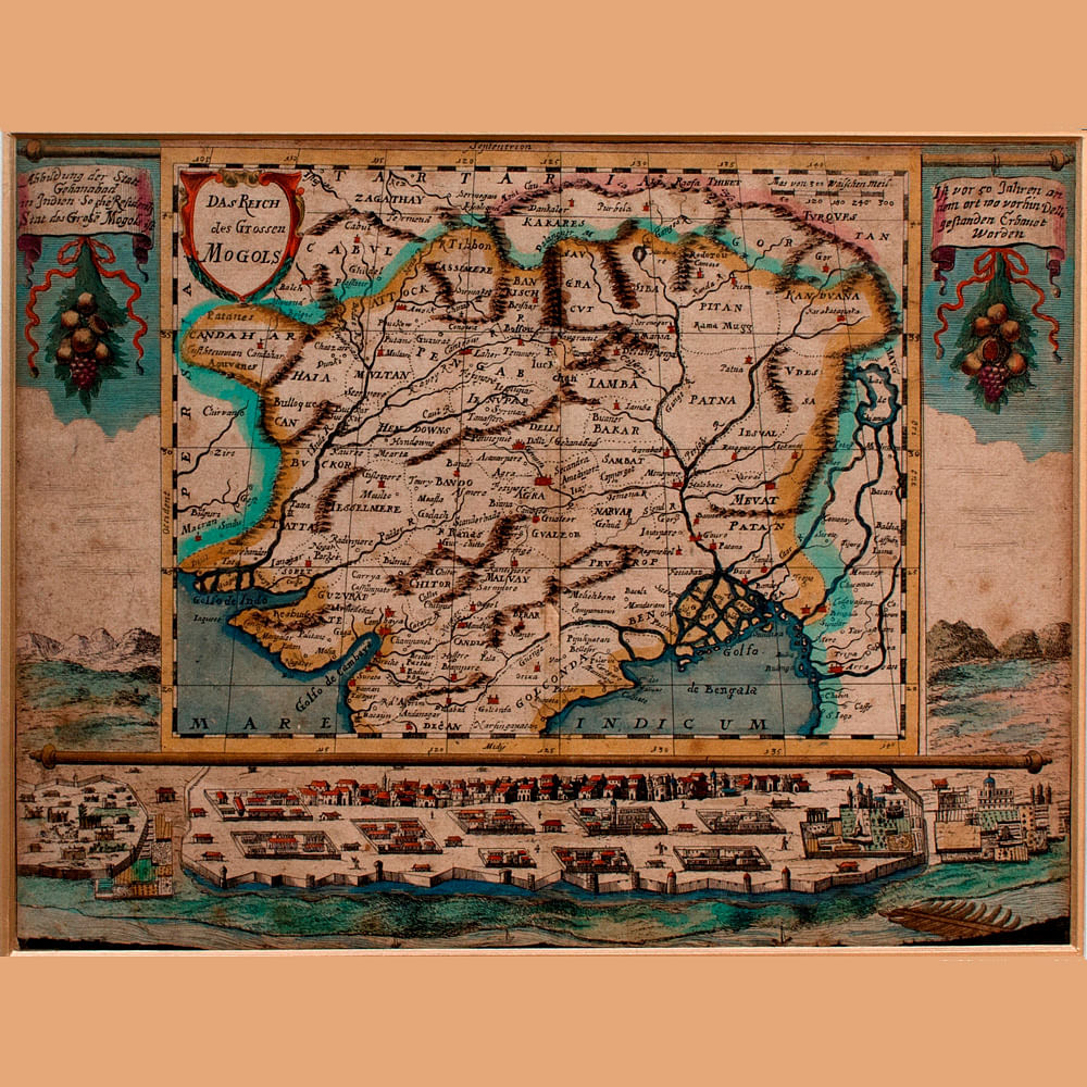
The Indian subcontinent has so many overlapping histories that drawing a map of it at any point in time has always carried a sense of uncertainty. More often than the rest, maps end up carrying stories coming from those drawing those maps, instead of those who might be located in those actual geographies. So, it is obvious that amazing discoveries unveil themselves when one puts maps of the same place from across time under one roof. At Ojas Art Gallery, something similar is happening in the exhibition called India: A Mapful Story.
The exhibition explores stories from and about the Indian subcontinent and how it has shaped up to its present geography over the past centuries. Alongside, it also seeks to understand cartography as a science as well as an art. Cartography emerged as a mainstream practise as it was heavily commissioned by Western countries in their quest for colonisation. So, while these “discoveries” by Western travelers took place, a number of maps of the Indian subcontinent emerged all over the world. India: A Mapful Story will try to understand some of these by displaying a selection of 70 maps spread over 350 years. These maps aren’t replicas, but fascinating originals created by cartographers like Seutter, Rennell, Mortier, Lapie, Bonne and Tallis.
The exhibition will be on display till 8th January, 2020.

